Zugora

Lake and water

Wilersee

Menzingen · 729 m above sea level

Translation This English text is a draft translation of the German original and has not been reviewed yet.
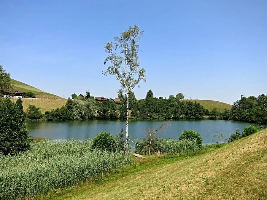
Wilersee lake
Photo: Tschubby, CC BY-SA 3.0, via Wikimedia Commons · Photo · CC BY-SA 3.0

The Wilersee is a small kettle lake at 729 m above sea level in a hollow in front of the village of Finstersee. It formed after the last ice age in a depression without an outflow.

Facts

  • Lake level 729 m above sea level
  • Fishing allowed (Wikipedia)
  • Bus stop nearby

Show on the map

More information

Coordinates (LV95): 2,689,472 / 1,225,129

Sources and rights

  • Terrain, relief, municipal boundaries, buildings and hiking trails: © swisstopo
  • Playgrounds and family places: © OpenStreetMap contributors, Open Database License (ODbL); the derived database of places (JSON file to download) is also available under the ODbL.
  • Photos of the places of interest: Wikimedia Commons, author and licence with each photo.
  • Position of the sun after the NOAA formulas; shade values from swissSURFACE3D and swissALTI3D (calculated by the zug-family project).
  • Tips link to Zug Tourismus; only name and location are taken over.