Zugora

Viewpoint and mountain

Aussicht Gnipen

Zug · 1,534 m above sea level

Translation This English text is a draft translation of the German original and has not been reviewed yet.
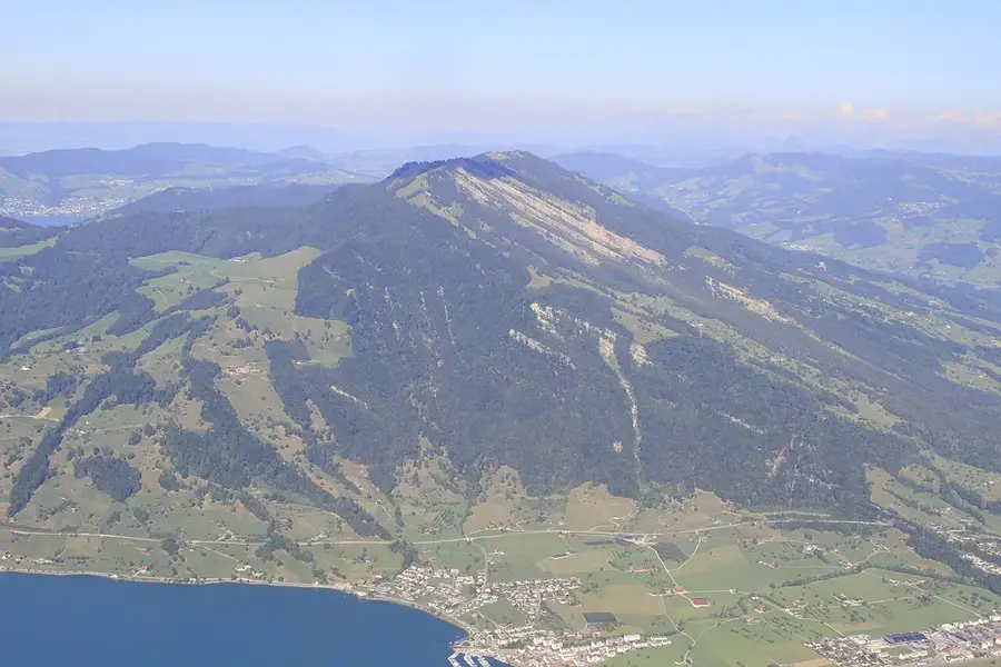
View from the Gnipen
Photo: Paradise Chronicle, CC BY-SA 4.0, via Wikimedia Commons · Photo · CC BY-SA 4.0

The Gnipen (1567 m above sea level) is the western summit of the Rossberg, high above the Ägeri valley. The Goldau landslide of 1806 broke away below the Gnipen. Zug Tourismus recommends the hike of about six hours from the Zugerberg over the Wildspitz to Unterägeri.

Facts

  • Summit 1567 m above sea level
  • Source area of the Goldau landslide of 1806
  • Hike Zugerberg–Wildspitz–Ägeri about 6 hours (Zug Tourismus)
  • According to Zug Tourismus the viewpoint lies in the town of Zug, the summit in Arth SZ

Show on the map

More information

Coordinates (LV95): 2,685,395 / 1,215,176

Sources and rights

  • Terrain, relief, municipal boundaries, buildings and hiking trails: © swisstopo
  • Playgrounds and family places: © OpenStreetMap contributors, Open Database License (ODbL); the derived database of places (JSON file to download) is also available under the ODbL.
  • Photos of the places of interest: Wikimedia Commons, author and licence with each photo.
  • Position of the sun after the NOAA formulas; shade values from swissSURFACE3D and swissALTI3D (calculated by the zug-family project).
  • Tips link to Zug Tourismus; only name and location are taken over.